


Welcome Back to Washington!
We Do Sunday Series: Enjoying Life after Trauma

Knowing how much baggage we carried into our marriage, we understand that we truly did do our best to enjoy life after trauma. Thank you for walking down memory lane with us during this Sunday series.
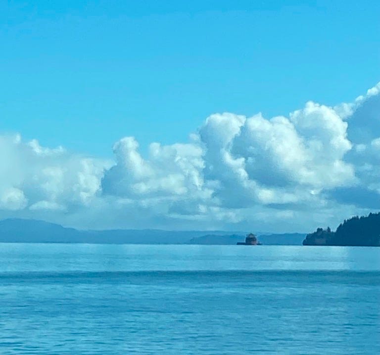
We crossed the bridge over the Columbia River and decided to stick with the plan to keep as close to the coast as possible as we headed home. This resulted in driving through southwest Washington landscapes we did not expect.
A notable landmark of the Pacific Northwest, Cape Disappointment was already named by the time Lewis and Clark reached the site in November 1805. The first known documentation of the site was in 1775 by Spanish explorer Bruno Heceta, who named it “Bahia de La Asuncion,” or Bay of the Assumption. Then in 1788, British trader John Meares named it “Cape Disappointment” when he mistakenly believed that the mouth of the Columbia River was only a bay. (Source)
It makes sense that the mouth of the river was mistaken for a bay. The coastlines of the PNW can be confusing. You can believe you are near the ocean when you aren’t and you can think a massive river is a bay. Our goal was to follow the 101 which you can see in the map hugs bays, not the ocean.

When we came around a corner looking across at Cape Disappointment we spotted St. Mary’s Catholic Church (1904) and the story of the church and those who originally lived on the land changed how I viewed the landscape for the remainder of the trip.


In 1954 with the passage of the termination acts . . . the U.S. government sought to end all obligations to tribes. [While] the U.S. eventually acknowledged the injustice of termination and restored the sovereignty of most tribes. The Chinook continue to seek this recognition. (Source)
"Our people have been here since the beginning. We are the first people here. We have watched as the captains came and went. When they talk about Captain Gray, one must remember that's the first documented Euro-American. There were Chinese here many years before him. For Lewis and Clark, they didn't discover anything either. One of the things that has remained constant was the people of the Chinook Nation."
— Ray Gardner, Chinook, 2011—
For the remainder of the trip home, I reflected on the people who had originally inhabited the land and water that sustained them. I wondered how much we could have learned from them about how to care for this beautiful world—we still can.
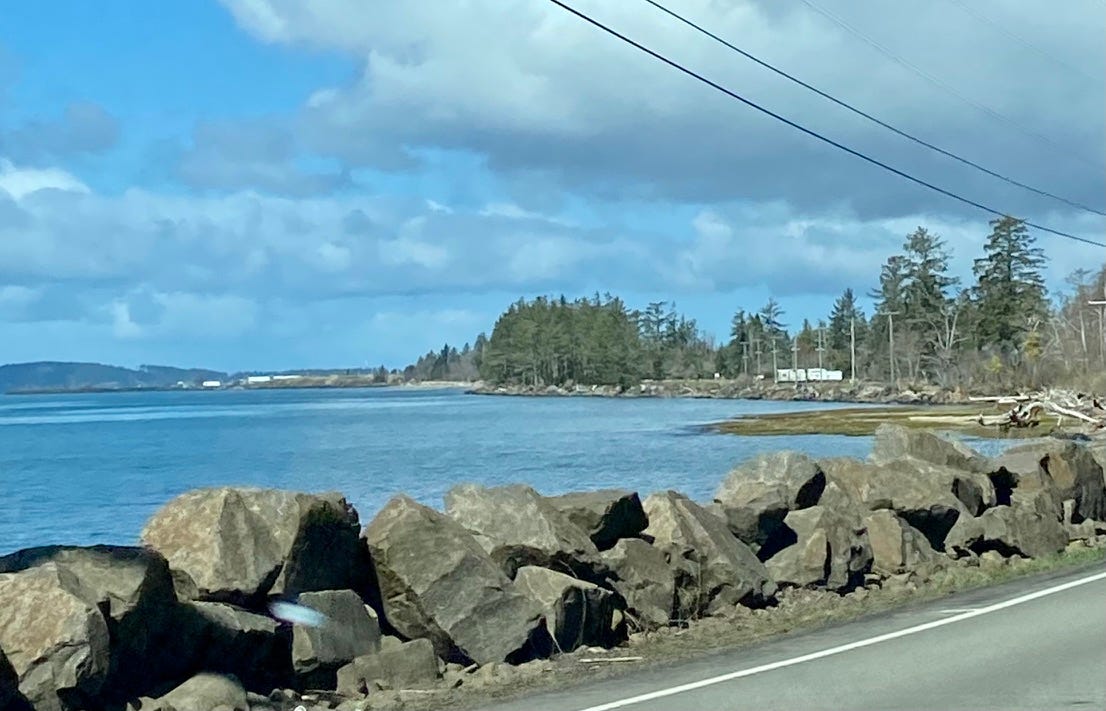
The landscape often felt surreal with bays and bogs and sunken trees. Later, I learned that“Willapa Bay is a coastal plain estuary. This type of estuary formed at the end of the last ice age, when rising sea levels drowned low-lying coastal river valleys.”
One site of particular geologic interest is located on the eastern side of Willapa Bay, in Greenhead Slough. Here visitors can see the remains of tree stumps and branches sticking out of a river embankment. These trees once stood tall at the edge of the estuary, but a sudden drop in elevation of the land buried their roots under salty water where they were unable to survive. The several-foot drop in elevation occurred during an earthquake.
Lost in my thoughts, and in awe of the landscape, I took no pictures. It was not anything I ever expected in Washington State! (Learn more here)
And then we were home!